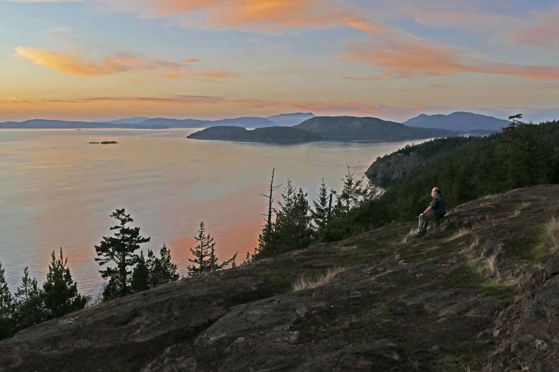
 Trails… … lead us out, … The evening sun was not far from the horizon as I headed down the Montgomery-Duban Headlands trails at Sharpe Park, hoping to see the colors of the sunset from the edge of the water, and then go south to the top of Sares Head. Could I do both with the remaining daylight? … guide us along, … Sharpe Park has two hiking options: the northern trails lead down to the rocky shoreline; the southern trails lead up to an overlook 400 feet above the waters of Rosario Strait. The northern portion is named after the family of two men and their daughter who breathed new life into the two-year fundraising efforts of Skagit County Parks and the San Juan Preservation Trust. After securing grants and donations, they all held a ribbon-cutting in 2004. Rocky slopes with open forests here invite exploration. I stayed to the right, going counterclockwise on the trail system. Insects hummed, golden leaves crunched underfoot. Soon the trail dropped steeply down the bluff’s edge, going past glowing madrone trees growing out of mossy rocks. At the bottom, gentle waves lapped the rocky points and coves. Seagulls stood on floating kelp offshore. The Salish Sea was peaceful today. But the sun was nearly gone. … take us to special places, … I climbed the very steep trail heading south to Sares Head. It levels off somewhat after getting above the bluff’s edge, giving peek-a-boo views through trees toward Rosario Strait. The sun continued to drop. I hurried and partly ran up the trail, getting to the top of Sares Head scant minutes before sunset. A man sat on the bedrock of the bluff, stoic in his appearance, a large walking stick resting in his lap, his gaze steady to the west. I thought he looked familiar, but could not recall who he was. A friend texted to say he was watching the sunset that evening from Camano and wished he could be at the Sares Head overlook to see it. I sent him a sunset picture and an affirmation that at least he was there in spirit. A large group of kids and parents took turns taking photos of each other with the sunset behind them, while those not in the photo ran around whooping and hollering. One of the parents apologized for the children’s raucous behavior as they headed back down the trail after the sunset. “No worries,” I said, “I raised six kids.” They laughed and said this must have been quiet in comparison, as they had only five kids this evening. I laughed and agreed. Then the headland grew quiet. The stoic and I were the only ones there. I absorbed the beauty of the evening, the smells, the gentleness of the water, the power and magnificence of the view. I said a word of thanks to the many individuals, groups and organizations that worked together to fund, create, and maintain this park through the years. Kathleen Sharpe, one of the donors for the park’s south end, once expressed “It is my desire that for all time this property shall provide a respite for mankind's body and soul….” Her desire is being met. … and lead us home. Darkness descended. I turned to leave. As I passed the stoic sitting on the rocks, I mentioned that he looked familiar. We introduced ourselves and realized we were both involved in a trail project nearby. We exchanged phone numbers. And now it was really getting dark. I hiked out, pausing only to take one more picture of silhouetted trees in the fading light. Then I saw a woman heading up the trail toward the overlook. She was dressed in dark clothing but had a small bright white dog walking beside her. We exchanged “good evening” greetings as she headed uphill. I cautiously hiked my way back down the trail and back home. jack (Total distance: about a two mile loop) Directions: From the Deception Pass bridge, go north on Highway 20 and turn left on Rosario Road. Go about 1.7 miles until you find the Sharpe Park parking area on your left.
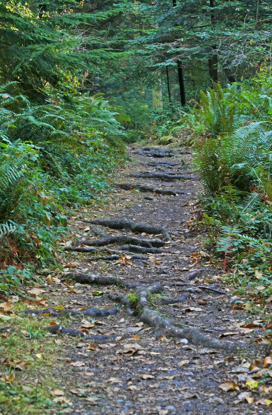
By Bus: There is no bus service to this area. By Bike: Rosario Road has narrow shoulders and 40 mph speed limits. Please use caution, ride single file, and use lights and bright clothing. Mobility: The early section of trail from the parking lot is fairly wide and fairly even with packed dirt. In a quarter mile the trail begins to have areas with roots, rocks, and some severe slopes in places.
0 Comments
When we visit a place we begin to form a relationship with it. When we return, the bond grows stronger. We might have fond memories of a place we’d visit in childhood. My grandparents’ farm is like that for me. But it’s changed. New housing developments have swallowed it whole. When I first arrived in Washington, I was starting a job with the Forest Service on the Olympic Peninsula. Driving around Lake Crescent it was love at first sight. Back then I could stop at the lodge and shoot pool in the lobby or play a funky piano. Now it’s an upscale lounge and restaurant. I moved to Whidbey when there was only one stoplight on the Island. Langley was a depressed little town. I got a letter once with just my name and the town on the envelope. Things have changed. Change is inevitable. Some is good, some not so good. That’s why I value the Whidbey Camano Land Trust. They preserve and protect the open spaces we have left. It doesn’t have to be pristine, but once they get it, they begin to restore it. They work with partner agencies, volunteers, private land owners and contributors to raise funds, secure parcels and contract easements and restore the site guided by their priorities to protect our natural resources. One of their greatest achievements was acquiring Trillium Community Forest twenty years ago. First there was a grumbling in the community that Trillium, a real estate firm, was purchasing forest lands on Whidbey and clear-cutting them as fast as they could. A group of citizens reached out to local and state officials to do something. They weren’t taken seriously, at least not at first. Trillium began cutting large parcels which attracted attention. Objections were raised about preserving wetlands and prime wildlife habitat. Still nothing. But these citizen activists persisted. They did their homework. They occupied logging sites. They flooded the council chambers. The press amplified their message and the pressure resulted in some success. Whidbey Camano Land Trust was given an opportunity to buy 654 acres if they could raise $4.2 million in a very short period of time during a recession. It was all hands on deck, a full court press, a mad dash to raise the funds. Churches, youth groups, horse lovers, hunters, everyone put their backs into it. Fortunately, they were successful. Now more land has been added and Trillium Community Forest is 721 acres with seven miles of well-marked trails. When I walked there last weekend I met a woman who said she came there for her mental and physical health. A woman on horseback told me she lived nearby and rode there often. A man running with his dog stopped to say he lived within a mile and loved having all these trails close by, We all have different relationships with the place. I got to know Trillium on my walks home. One summer years ago I began getting off the bus at the Pacific Dogwood trailhead and walking two miles down the main trail to exit where I had permission to cut across a pasture to get home. A very dear friend of mine had just died. It left a big hole in my heart. Almost every time I walked there an owl would swoop down the trail in front of me and land on a branch just over my head. I began to think maybe it was my friend in a new form. It made me smile. I hadn’t hiked in Trillium for a while but I wanted to go last weekend before rains made the side trails soggy and hunting season starts. I walked Peaceful Firs, Crossroads, Raven, Wild Berry and Happy Trails along with the main trail, Patrick’s Way. At the end of my walk, an owl swooped down the trail ahead of me, twice, before silently disappearing into the woods. Maribeth Take a photo of the map at the trailhead or print this one before you go. It includes directions and a bird list. Directions: There are 3 entrances to Trillium Community Forest. None of the entrances have big signs so look carefully. 1-Pacific Dogwood is on Hwy 525, 3.5 miles south of Greenbank (just south of the phone booth at Classic Road) or 4 miles north of Freeland. Turn west and take the road to the right. 2-Smugglers Cove Road I mile south of South Whidbey State Park or 5 miles north of Freeland. Look for small brown signs and a gravel parking lot. There is room here for horse trailers, buses and RVs. 3-For the ADA loop trail drive Hwy 525, 1.8 miles north of Freeland and turn left on Mutiny Bay Road, Take the first right onto Bounty Loop Road. The trailhead is at the bottom of the hill on the right. By Bus: When the Island Transit Route 1 Southbound goes down Highway 525 ask the driver to stop at Pacific Dogwood (just past Classic Road) on the right. (There's no place near for a bus to stop going north on Highway 525.) Or take the same Route 1 bus either north or south on Smugglers Cove Road 1 mile south of South Whidbey State Park and just north of Rhodie Lane. Look for the small brown signs on the curve. Island Transit is fare free. For a bus schedule visit: www.islandtransit.org The ADA Loop is not accessible by bus. By Bike: Smugglers Cove Road has shoulders wide enough for bikes and traffic is relatively light. Please wear bright clothing and use your lights. Moblity: Those with mobility challenges can use the ADA Loop off Bounty Loop Road. Though it is not recommended for wheelchairs, the Pacific Dogwood entrance is hilly but paved for the first bit. Once past the red gate, Patrick’s Way down the middle of Trillium Woods is a gently sloping dirt road. 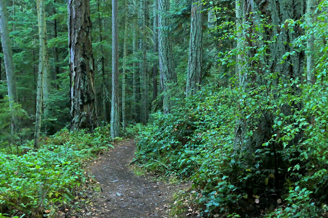 August 10, 2014. I remember the date well because my granddaughter Kataleya was born that morning. And that afternoon the poet laureate of the state of Washington, Elizabeth Austen, led a dozen of us on a hike from Pass Lake to the Ginnett overlook area, to teach us about seeing and about writing. We chatted as we hiked, and observed the trail and trees, the ferns and firs, the roots and rigors of hiking a couple of miles. At the viewpoint, she asked us all to sit down and write a poem from our heart. September 12, 2021. Thinking of that day, I hiked the route again, adding in a side trip to the Big Cedar Tree, and finishing by dropping down to Rosario and then along the loop trail back to Pass Lake. I thought about that hike seven years ago and how our focus was not on just what we saw, but what we felt, what we cared about, what it meant to us personally, and how it mattered not just now, but for all time. Today my camera was focused on the intuitions of my eyes, seeing natural beauty and artistry all around me, an interplay of light and color and texture and depth. I wondered how I could share the thoughts behind the footsteps I took, the beauty I saw, the musings of my soul as I tread upon the trail. A few days earlier, a friend had read to me a poem that she had written. My heart and mind soared with the imagery and thoughts she shared. What if we talked in poetry, we wondered. I’ll try. Here is what I experienced along the way: Evening approaching, trailhead leading me in to the cool, quiet green Trees tall, I am small they raise their arms above me hearing diff’rent songs Here they stand, today, yesterday’s gone, tomorrow’s not here, breathe, breathe, breathe I walk at their pace I walk in their shadow world I walk amid giants One has fallen, now sleeps others now grow where it lies giving life in death Roots, arms reaching out anchors to the wind, living branches underground How am I grounded? How far do I reach out for depth and life and health? 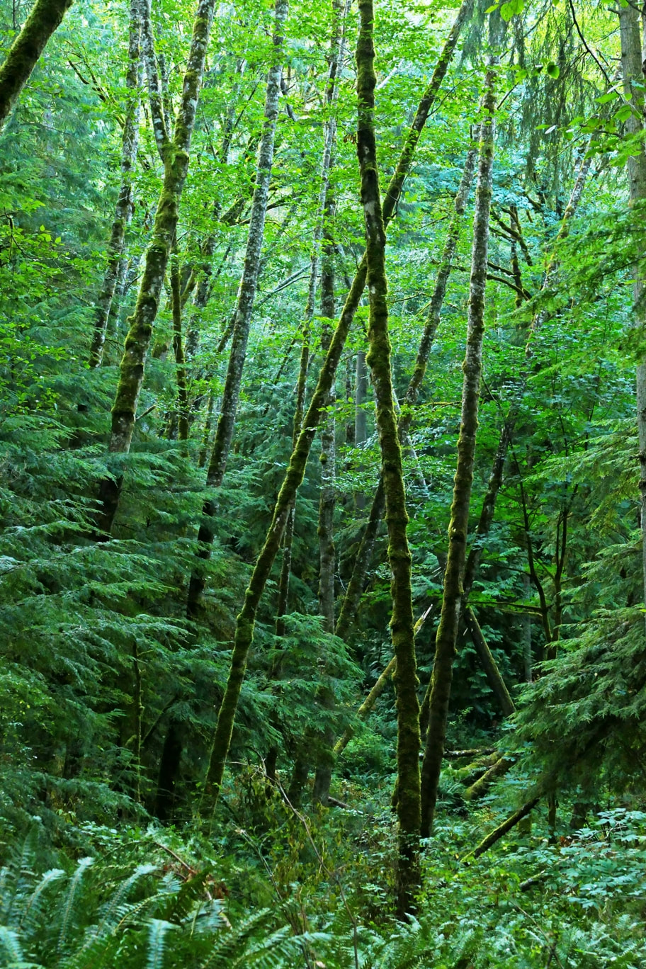 Highway sounds and then -- Naked Man Valley, silence, quiet … bird’s soft voice 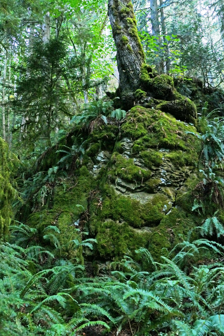 Rise up where you stand it’s given to you to be all that you are, here Trails can challenge us we challenge ourselves to move while we can, to live 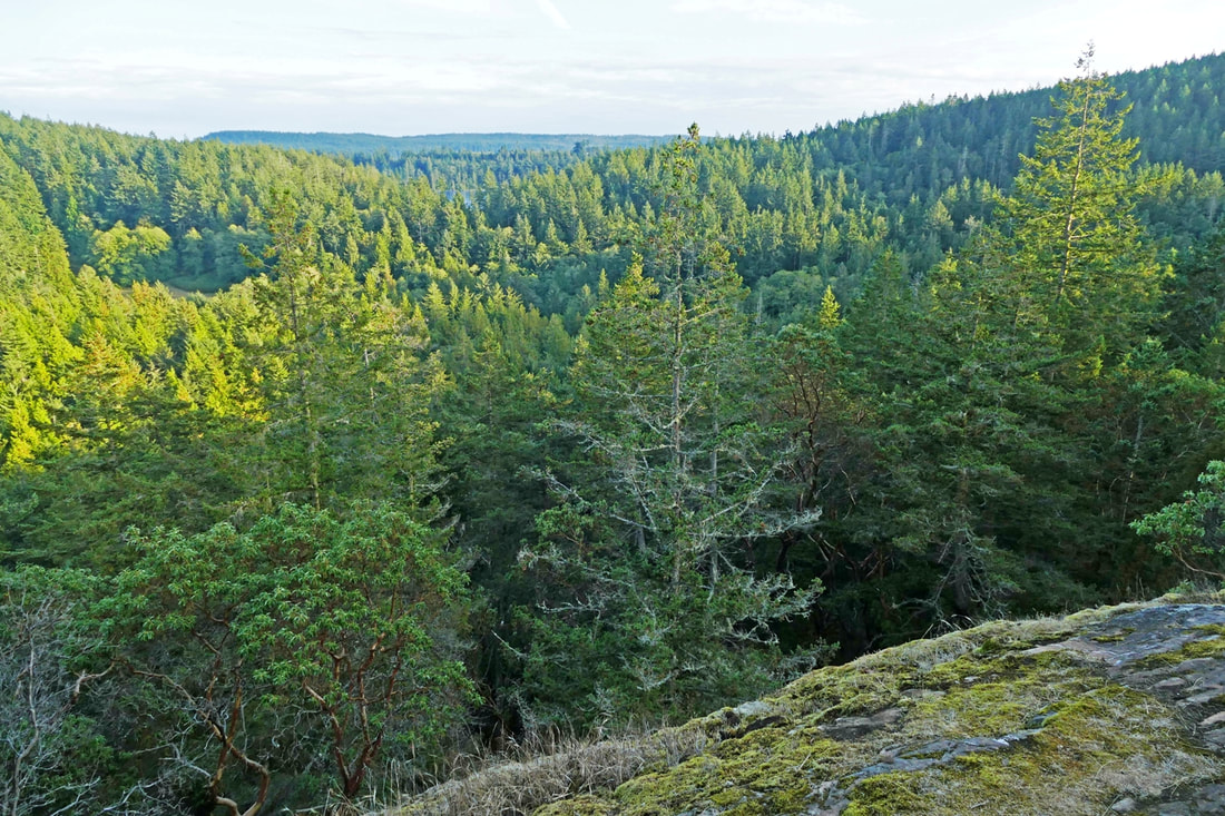 To journey is life each day’s steps lead us onward At the top, the view 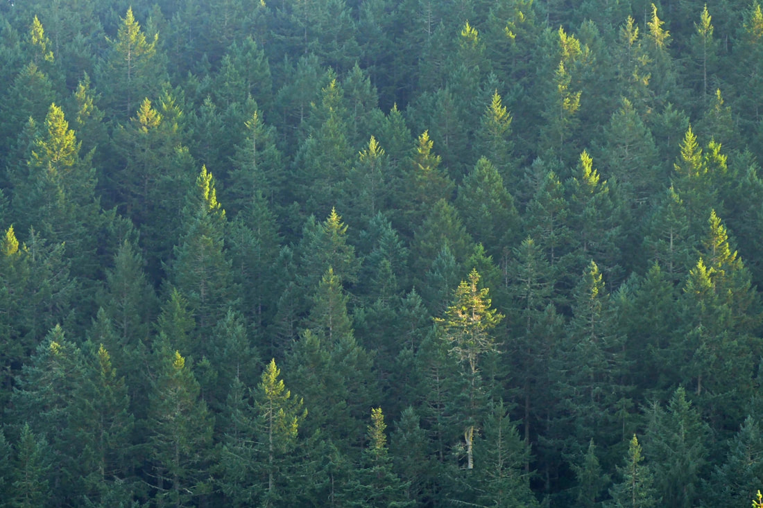 Candles in the wind gripping the light of day’s end do not go gentle 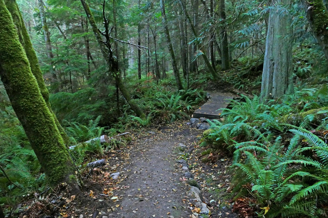 Once upon a time I danced across this streamlet a bridge cannot waltz 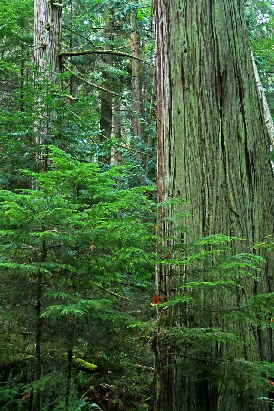 Climbing -- out of breath -- steep trail -- switchbacks -- ever up -- And then ... there it is Centuries it has stood Untold lifetimes pass beneath -- yet it stands, still here 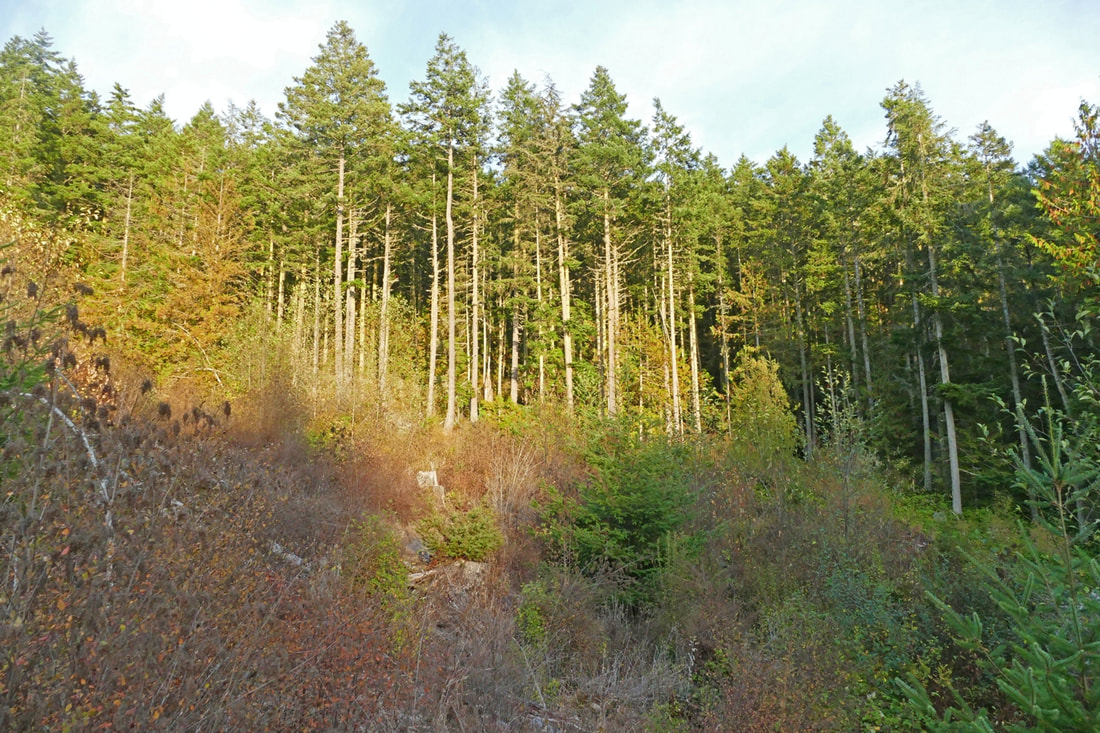 Clearcut private woods, trees gone to feed our desires. Nature feeds our souls 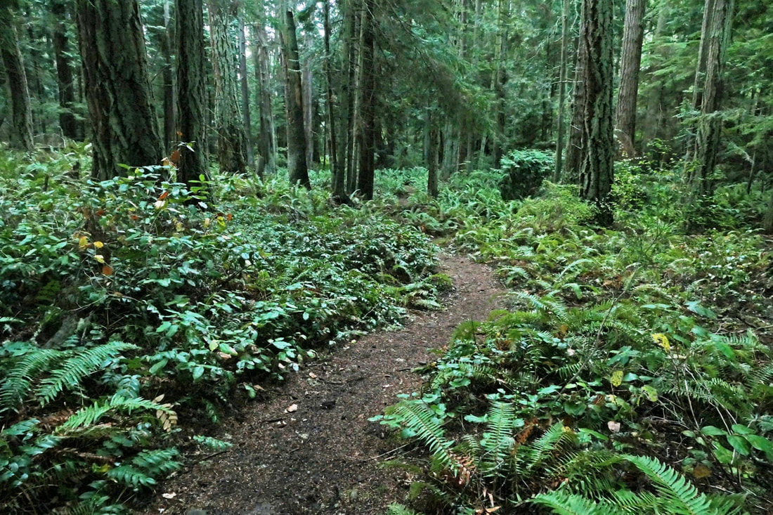 My son built this trail plans, permits, shovels and sweat The trail built my son 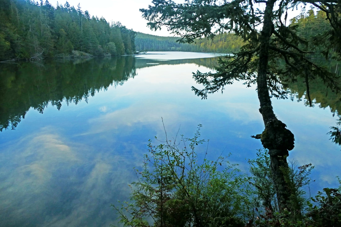 The end of the trail Reflections on the water Passing days and dreams I have hiked this trail dozens of times in the seven years since the poet walked with us. Seven years is a lot of time in the lifespan of a human. Much has changed. And seven years is just a wisp of a forest’s heartbeat along the trails we follow. And the poem I wrote back then? To my newborn granddaughter: My body carries me along this trail looking with others at fallen timbers ancient bodies with new growth springing up from underneath the old. We move on. We rise, we fall, we climb, we rest, we look ahead, we look back. You will see me as an aging tree, but still moving still climbing never stopping until I fall lying down someday as you rise above. jack ____________________________________________________________________________________________ Directions for this portion of trail: On Highway 20 just north of the Deception Pass Bridge, turn west on Rosario Road, then immediately right into the Pass Lake parking lot.
Note: Pass Lake has extremely high counts of a toxic algae. Keep yourself and all pets from the water. Accessibility: Transit services do not stop in this busy and congested area. Mobility access: This trail is hilly and uneven with numerous areas of roots and rocks. Bike access: although accessible by bike, the roadways in this area have narrow shoulders, high speed- limits, and abundant traffic. 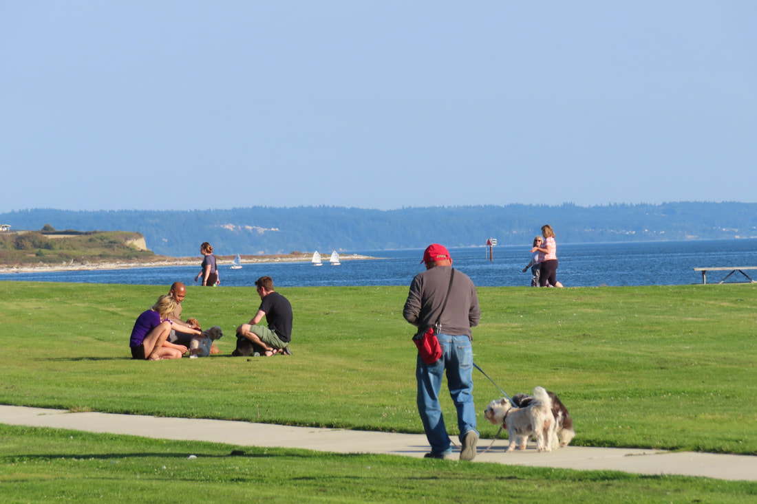 I’ve been thinking a lot about equity and inclusivity lately. To think about how to make things more inclusive, I had to first consider what makes them not inclusive. What might make me hesitate to visit a park or take a trail might be different for you. I wouldn’t go somewhere where I felt threatened or too uncomfortable. I wouldn’t go if it cost too much money. I wouldn’t participate in something that’s too far outside my interest area or ability level. You won’t find me skydiving into the Sahara for instance. When I consider which of our parks and trails here are most inclusive I think about Wendy. She’s someone I met last spring when I invited her to try out a few trails with me using the fare-free Island Transit bus to transport her in her electric wheelchair. We explored the South Whidbey State Park campground loops that are paved and closed to vehicle traffic. We made another stop at South Whidbey Community Park on Maxwelton Road where she cruised on trails through the park coming out on Langley Road. Then we went to the Waterfront Trail in Oak Harbor. By the end of the day she was glowing. Recently I walked the mile long Waterfront Trail early on a cool, cloudy morning. I didn’t think I’d see many people at that hour but I was wrong. There was someone fishing from the dock in Flintstone Park. In Windjammer Park I found a few people out jogging or walking briskly getting their morning exercise. Others were walking their dogs. Someone was shooting hoops, and a stream of cyclists cruised by in Freund Marsh, all before 8am. I walked it again on a sunny Sunday afternoon and found the shipwreck spray park full of families with kids enjoying the water. Teens were swimming in the lagoon. Bikes, strollers and skateboards rolled by. There were picnics and basketball games, dog walkers and beach combers. I took a lot of photos and when I looked at them later, I noticed all the houses, apartments and condos in the background. Oak Harbor is home to over 23,000 people. This park is within a block of shopping, restaurants, and Harbor Station, the main bus hub for Island Transit. This City park provides beach access to everyone and with paved sidewalks they make it accessible for people with disabilities. Families enjoy the water, the playground or read children’s books along the story trail which changes regularly. Young people use the ball fields, basketball courts and wide open lawns for Frisbee. Paddle boarders and kayakers push off from the boat launch. People with mobility issues can stroll or roll along the waterfront or have a picnic overlooking the bay. When I was there with Wendy she really enjoyed the path through Freund Marsh at the west end of the Waterfront Trail. It’s got a packed gravel surface that’s wide enough for wheelchairs to pass. She brought her binoculars and looked for birds in the native shrubs and open fields. The Scenic Heights trailhead park has a round patio. Stand in the middle and speak softly. You’ll hear your voice bouncing back at you. The City of Oak Harbor has done an amazing job with their waterfront. This park is free, easy to access by fare free ADA compliant buses, and has something for all ages and abilities. It’s easy to go out for a morning workout, look for birds, get some fresh air at lunch, shoot hoops after school, take the dog for a walk, take the kids swimming or enjoy an after dinner stroll, all right in the heart of town. It’s a park for people. Including me! Maribeth Directions: In Oak Harbor from Highway 20 you can take Scenic Heights Road to the trailhead park on the west end. Or go to the south end of Beeksma Drive, City Beach Road or park along Bayshore Drive at Flintstone Park on the east end of the trail.
By Transit: Take Island Transit to Harbor Station and cross the street to Flintstone Park, or get off at the bus stop at Walmart and walk 2 blocks south. All Island Transit buses are ADA compliant with room for 2-3 bikes and 2 wheelchairs. Routes 1, 3, 411W and 14 stop at Harbor Station. Mobility: This park is wheel friendly from Flintstone Park to Scenic Heights. |
Authors
Maribeth Crandell has been a hiking guide in the Pacific NW for over 20 years. She's lived on Whidbey and Fidalgo Island for decades. As a frequent bus rider she easily makes connections between trails and transit. Archives by date
July 2024
Categories
All
|
 RSS Feed
